


Overview
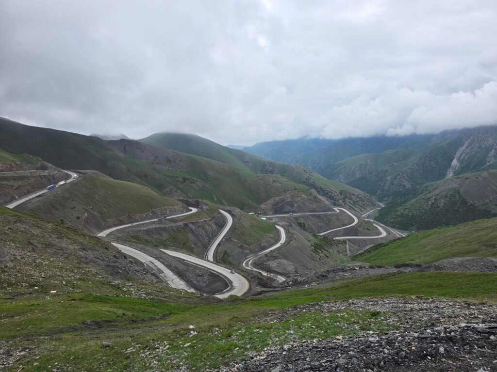
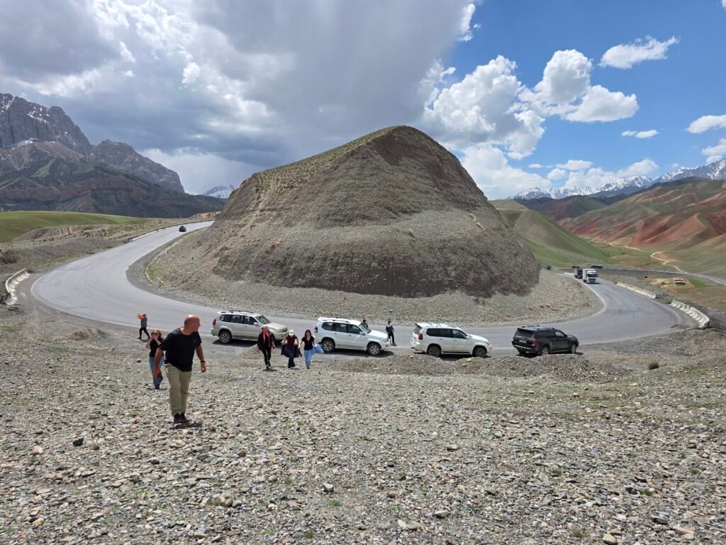
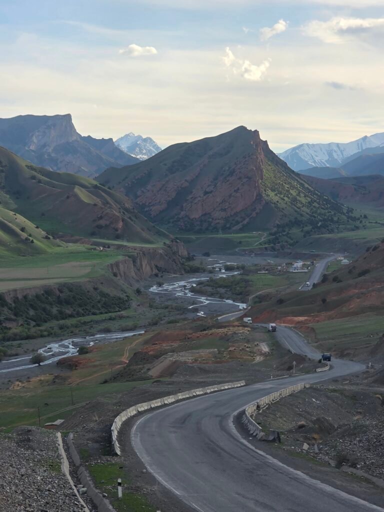
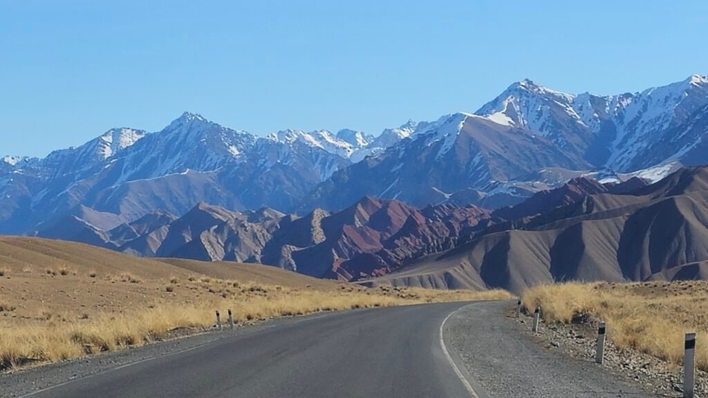
Discover the breathtaking beauty of the Pamir Mountains on an extraordinary 9-day 4×4 and trekking expedition from Dushanbe to Osh. This adventurous journey combines the legendary Pamir Highway, the remote Bartang Valley, traditional Pamiri villages, the historic Wakhan Valley, crystal-clear alpine lakes, and unforgettable high-altitude hikes.
The adventure features four major trekking experiences, including Jizev Valley, Panorama Ridge at approximately 4,800 metres, a guided ascent toward Nazar Peak at approximately 5,000 metres, and Traveler’s Pass overlooking the magnificent 7,134-metre Lenin Peak.
Highlights
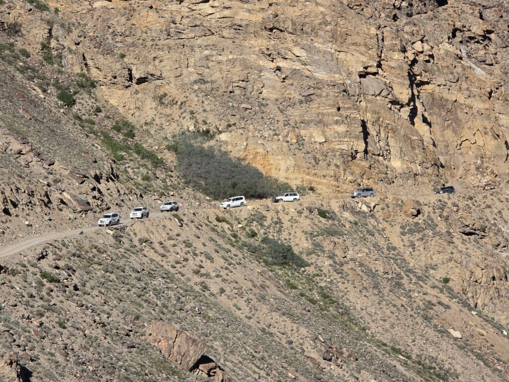
- ✓ Drive the legendary Pamir Highway (M41) from Dushanbe to Osh — one of the world’s highest and most remote roads
- ✓ Explore the dramatic Wakhan Valley, where Tajik, Afghan, and Kyrgyz cultures meet along the Panj River
- ✓ Visit ancient Silk Road fortresses, shrines, and petroglyphs in Langar, a historic crossroads of civilizations
- ✓ Trek to the hidden mountain village of Jizev, reachable only on foot, and stay among local Pamiri families.
- ✓ Experience life at altitude on the Murghab Plateau, a lunar-like high desert surrounded by towering peaks.
- ✓ Cross breathtaking mountain passes including Ak-Baital Pass (4,655m) — the highest point on the Pamir Highway
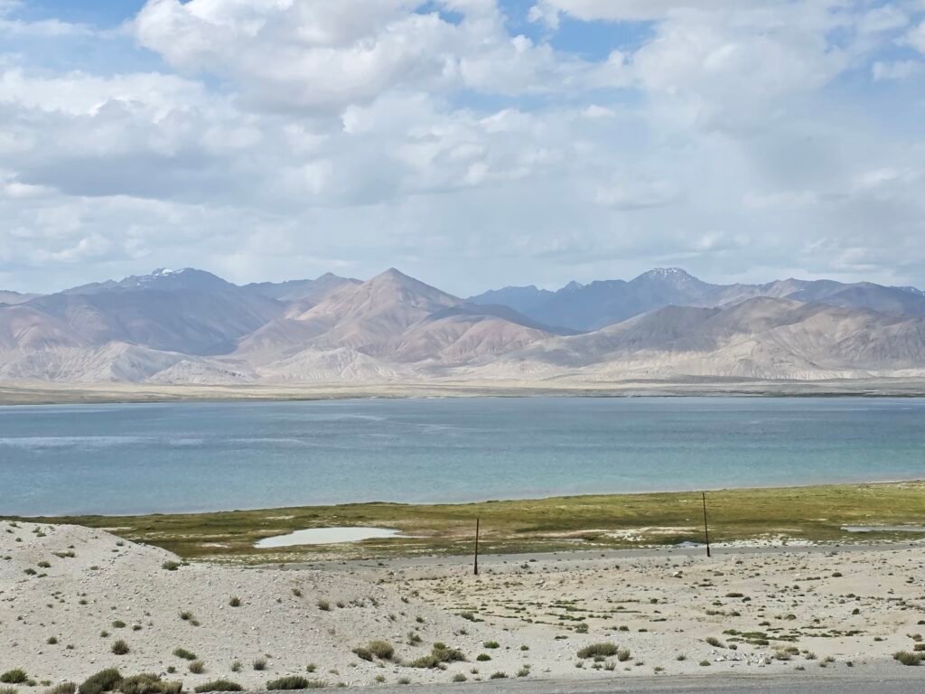
- ✓ Enjoy the surreal beauty of Karakul Lake, a sapphire crater lake at the roof of Central Asia
- ✓ Stay in authentic family-run guesthouses & homestays — Pamiri and Kyrgyz hospitality at its warmest
- ✓ Travel into Kyrgyzstan and sleep by the alpine Tulpar-Kul Lake, beneath the massive Peak Lenin (7,134m)
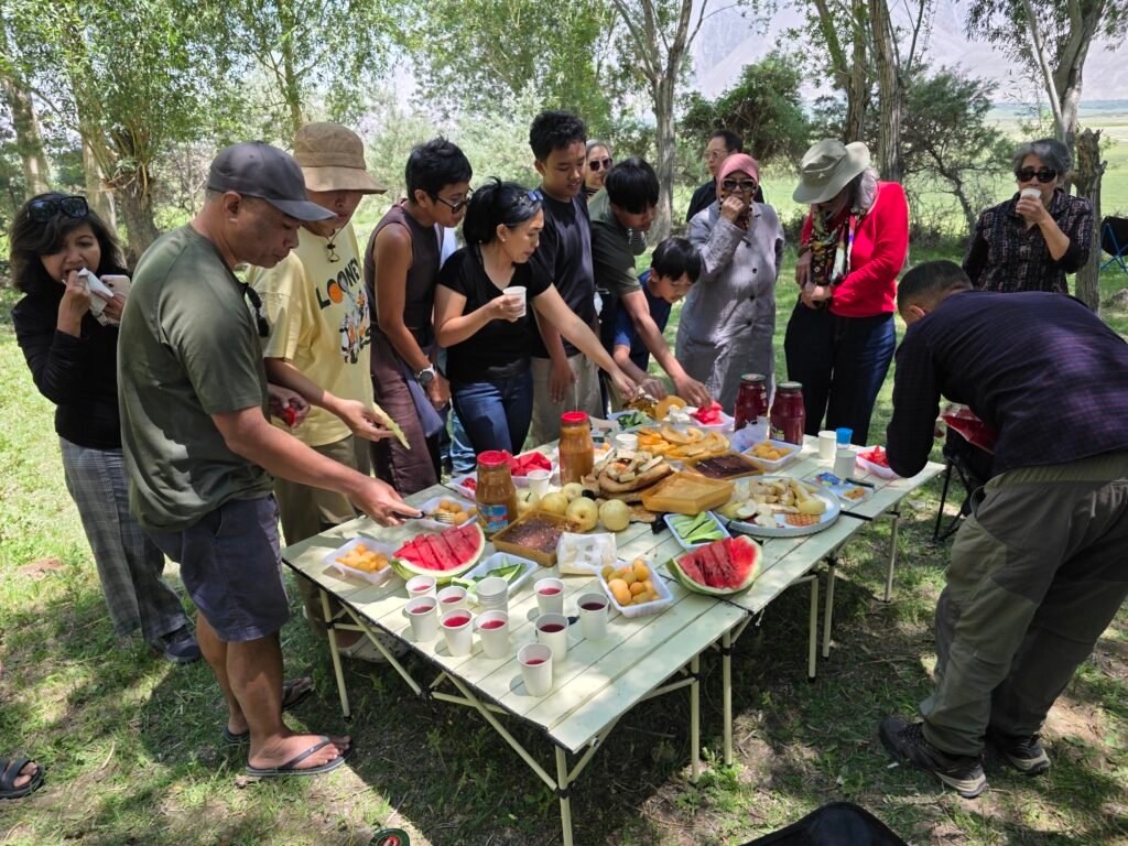
- ✓ Sample local cuisine, homemade bread, yak products, and traditional teas
- ✓ Discover remote cultures, traditional music, mountain customs, and everyday life in isolated highland communities
- ✓ Enjoy star-filled skies, pure silence, and some of the most spectacular high-mountain landscapes on Earth
- Challenge Hike to Nazar Peak 5000m
ITINERARY
Discovering Southern Tajikistan and Entering the Pamir Mountains
Driving distance: Approximately 350–370 km
Driving time: 7–9 hours, potentially longer with stops
Hiking: Short sightseeing walks
Starting altitude: Dushanbe – approximately 800 m
Overnight altitude: Kalai-Khumb – approximately 1,250 m
Accommodation: Local guesthouse
Morning – Departure from Dushanbe
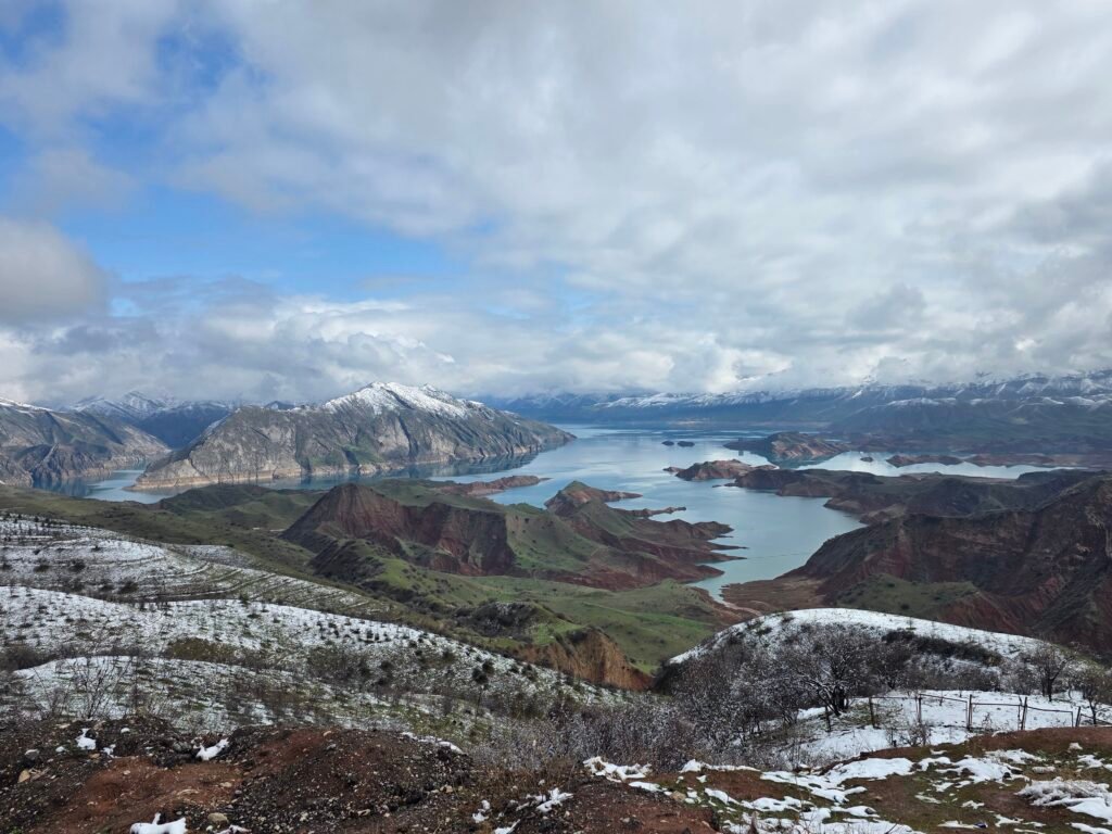
Your extraordinary Pamir adventure begins with a morning pickup from your hotel in Dushanbe, the capital of Tajikistan. Meet your experienced driver and travel east and south through the picturesque countryside toward the Pamir Mountains. As we leave the city behind, the landscape gradually changes from cultivated valleys and lively towns to impressive mountain ridges and winding river valleys.Our first major scenic stop is the beautiful Nurek Reservoir, famous for its blue water surrounded by dramatic hills and mountains. Enjoy panoramic views and take photographs before continuing toward Kulob.
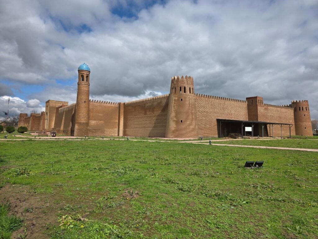
Exploring the Historical Region of KulobAlong the way, we have the opportunity to discover some of southern Tajikistan’s cultural and historical landmarks.Depending on the day’s timing, stops may include:Hulbuk Fortress: The reconstructed remains of a medieval fortress associated with the historical rulers of the region, showcasing Tajikistan’s rich Silk Road heritage.Kulob: One of Tajikistan’s oldest urban centres, where we can stop for lunch and experience local life.After lunch, our journey continues toward the mountain region of Darvoz.Afternoon – Entering the Panj River ValleyAs we approach Kalai-Khumb, the scenery becomes increasingly dramatic. Steep mountains rise above winding roads, small settlements appear along the slopes, and the powerful Panj River forms part of the natural border between Tajikistan and Afghanistan. For many travellers, this is the first unforgettable moment of the Pamir expedition: two countries divided by a river, surrounded by breathtaking mountain scenery.
We stop at suitable viewpoints along the river to admire the landscapes and photograph the traditional villages on the opposite side.Evening – Arrival in Kalai-Khumb. Arrive in Kalai-Khumb, a small mountain town at the gateway to Gorno-Badakhshan.Check into a comfortable local guesthouse and enjoy time to rest after the long drive.Travellers can enjoy a traditional dinner and listen to the sound of the nearby river while preparing for the following day’s adventure.


The Remote Bartang Valley and an Unforgettable Trek to Jizev
Driving distance: Approximately 200–220 km
Driving time: Approximately 6–8 hours, depending on road conditions
Hiking distance: Approximately 7 km, one way
Hiking time: 3–4 hours
Trekking difficulty: Moderate
Overnight altitude: Approximately 2,500 m
Accommodation: Traditional homestay in Jizev
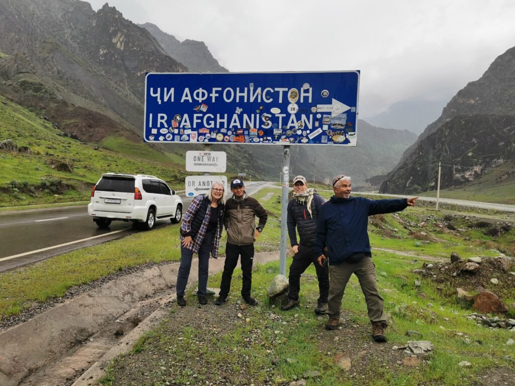
Morning – Scenic Drive Along the Panj River After breakfast, leave Kalai-Khumb and continue east into the mountainous heart of Gorno-Badakhshan. Today we travel along one of the most fascinating sections of the Pamir Highway, following the winding Panj River past steep cliffs, small villages and remarkable mountain landscapes. The road provides incredible opportunities for landscape photography. Across the river, traditional Afghan settlements can be seen clinging to the mountainsides, offering a fascinating glimpse into everyday life on the opposite bank.
We continue toward Rushan, passing through increasingly remote terrain. Entering the Bartang Valley near Rushan, we turn toward the legendary Bartang Valley, one of the most beautiful and isolated regions of Tajikistan. Known for its rugged mountains, dramatic river gorges and remote communities, Bartang offers a very different atmosphere from the main Pamir Highway. Our destination is the starting point for the trek to Jizev, a tiny mountain settlement that can only be reached on foot along the usual trekking route. The vehicle stops at the designated trailhead near the Bartang River. Afternoon – Trekking to Jizev Village
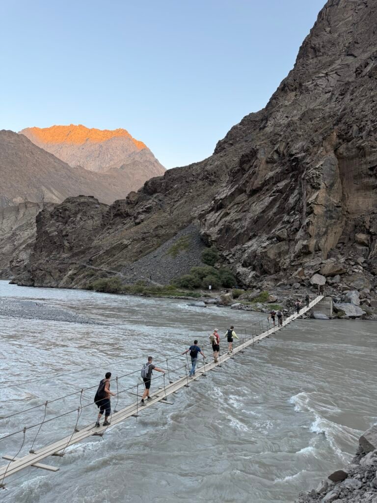
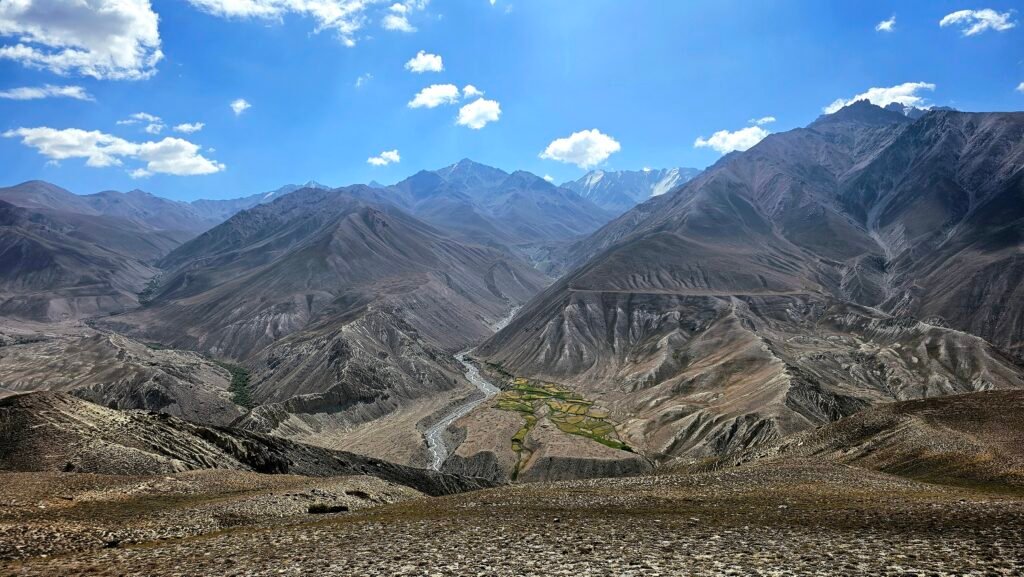
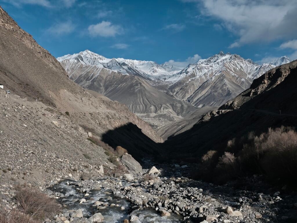
We begin our hike with a crossing of the pedestrian suspension bridge over the Bartang River. From here, the adventure continues into a peaceful side valley surrounded by towering mountains and beautiful natural scenery. The trail gradually climbs through rocky terrain, alongside streams and through areas of greenery. Unlike the dry, rugged landscape of the main highway, the Jizev Valley offers refreshing mountain streams, alpine vegetation and peaceful surroundings. During the trek, we enjoy opportunities to photograph the dramatic landscapes, observe local mountain life and appreciate the silence of the valley.
Trekking information
Distance: Approximately 7 km
Walking time: 2–3 hours
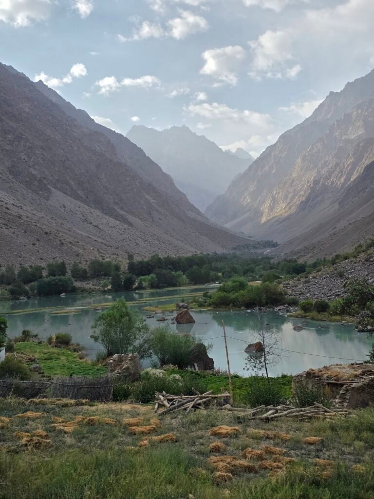
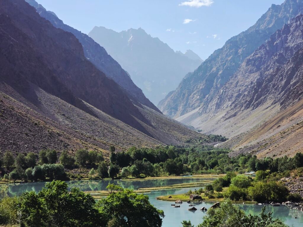
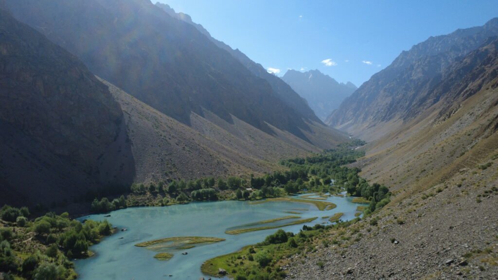
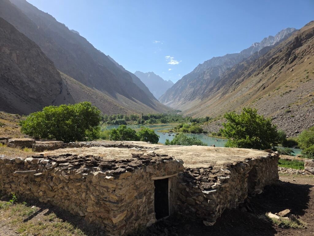
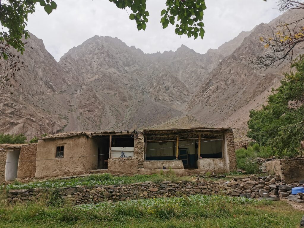
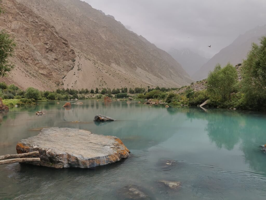
Terrain: Mountain footpaths, rocky sections and gradual climbs Difficulty: Moderate Recommended equipment: Trekking shoes, water, sun protection and a light backpack After the trek, arrive in the traditional mountain village of Jizev.This remote settlement is famous for its welcoming families, traditional Pamiri houses and beautiful surrounding lakes. With no ordinary road access to the village, Jizev retains a remarkably peaceful and authentic atmosphere.Spend the evening discovering village life, meeting your hosts and enjoying the surrounding landscape.Depending on arrival time and energy levels, we can take a short walk toward the nearby lakes.Dinner can be arranged with a local family, offering an opportunity to enjoy traditional home-cooked Pamiri food.Overnight: Traditional homestay in Jizev

Morning in the Mountains and Journey to the Capital of the Pamirs
Hiking distance: Approximately 7 km
Hiking time: 2–3 hours
Driving distance: Approximately 90–110 km
Driving time: Approximately 3–4 hours
Trekking difficulty: Moderate
Overnight altitude: Khorog – approximately 2,100 m
Accommodation: Hotel or guesthouse
Morning – Exploring Jizev
Wake up surrounded by the peaceful landscapes of the Bartang Mountains. After breakfast with our local hosts, enjoy the fresh mountain air and spend some time exploring the beautiful surroundings. The Jizev Valley is particularly attractive in the morning, when the mountains and lakes reflect the changing colours of the sky. Travellers interested in photography can enjoy the village scenery, traditional houses, mountain streams and peaceful lakes. After saying goodbye to our hosts, begin the return hike along the same beautiful trail. Trekking Back to the Bartang River The approximately 7 km return hike takes us through the mountain valley toward the suspension bridge.
Along the way, enjoy a final opportunity to admire the impressive mountains and photograph the landscapes. Cross the Bartang River and meet our driver at the trailhead. Afternoon – Drive to Khorog Continue along the Pamir Highway toward Khorog, the administrative centre of Gorno-Badakhshan. Khorog lies near the meeting point of the Gunt and Panj rivers and is surrounded by spectacular mountain scenery. Compared with the remote villages we have visited, Khorog offers a lively atmosphere, local shops, restaurants and beautiful green spaces.
Depending on our arrival time, sightseeing opportunities include:
Khorog Central Park: A relaxing riverside green space.
Khorog Botanical Garden: A beautiful mountain botanical garden overlooking the surrounding area.
Local Bazaar: An opportunity to discover regional products and local culture.
Gunt River: Scenic mountain river views and photography opportunities.
Evening – Relaxation in Khorog
Check into your accommodation and enjoy a relaxing evening. Khorog is also a useful place to purchase snacks, water and any supplies needed before travelling farther into the remote Wakhan Valley and Eastern Pamirs. Overnight: Khorog
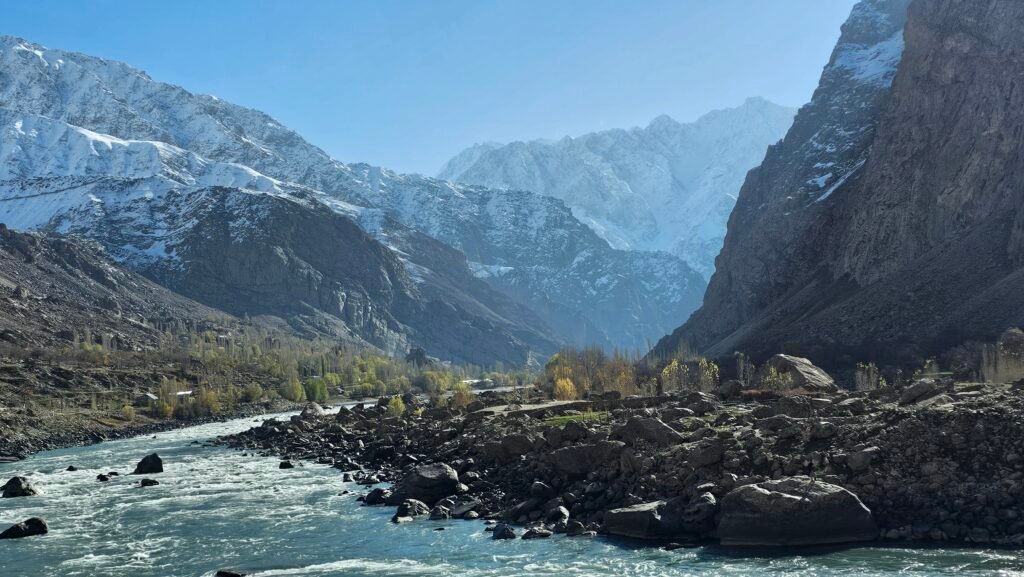
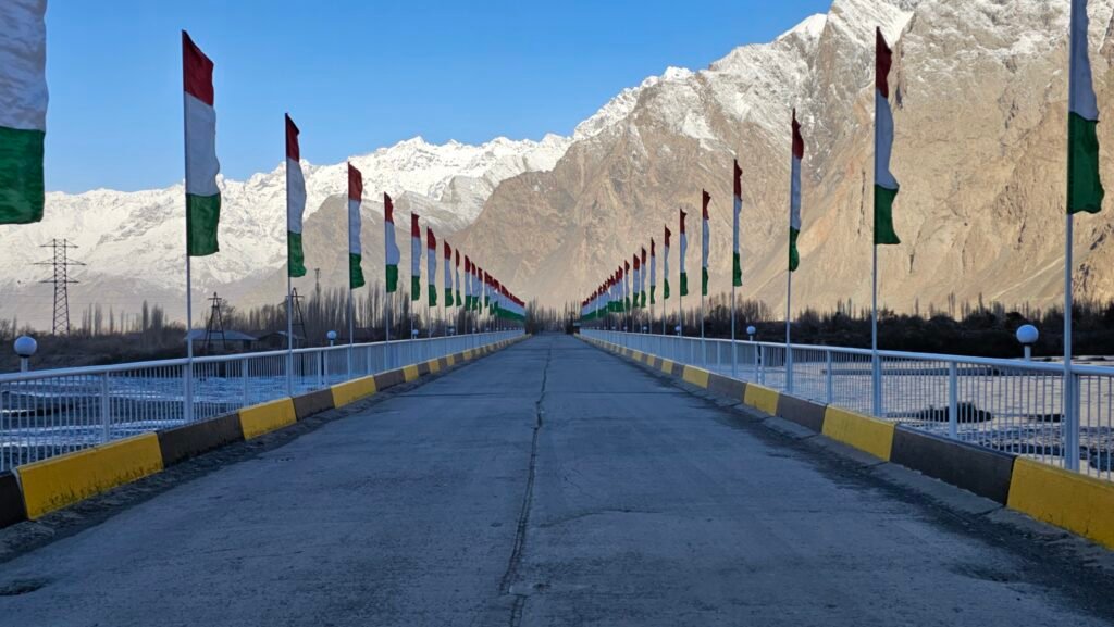
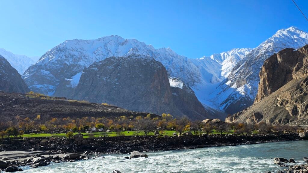
Day 4 – Khorog to Langar via the Wakhan Valley
Ancient Fortresses, Hot Springs and the Magnificent Hindu Kush
Driving distance: Approximately 220–250 km
Driving time: Approximately 7–9 hours, excluding lengthy sightseeing stops
Hiking: Short sightseeing walks
Starting altitude: Khorog – approximately 2,100 m
Overnight altitude: Langar – approximately 2,800 m
Accommodation: Traditional homestay or guesthouse
Morning – Entering the Wakhan Valley
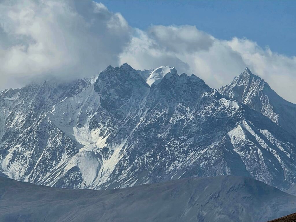
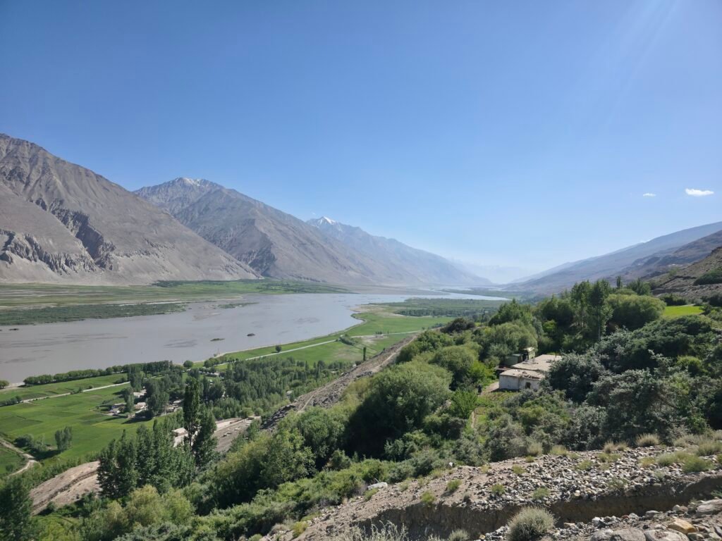
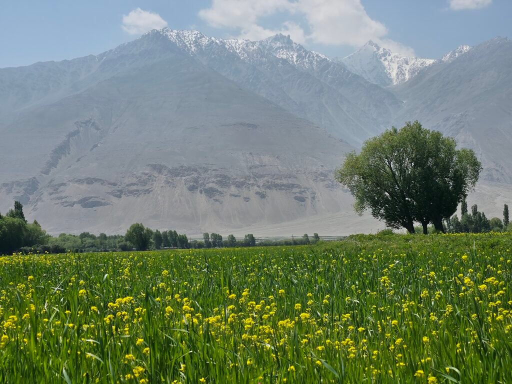
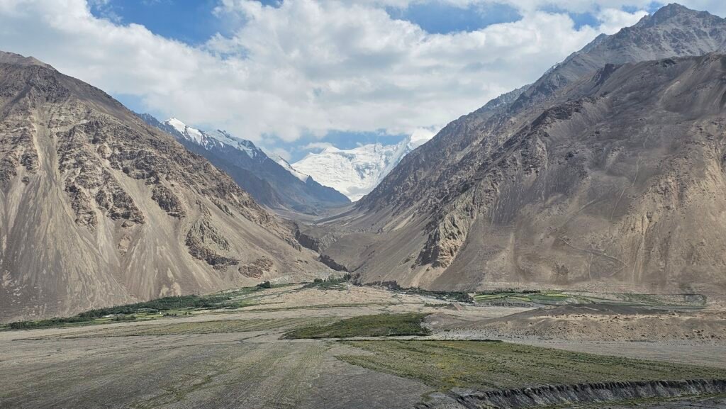
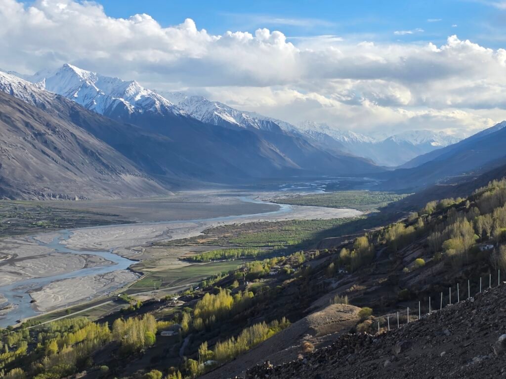
After breakfast, depart Khorog and travel south toward Ishkashim and the historic Wakhan Valley. This extraordinary region forms part of the ancient Silk Road network and is famous for its mountain scenery, centuries-old fortresses and fascinating cultural traditions. Throughout much of our journey, the Panj River separates Tajikistan from Afghanistan. Across the valley, the immense snow-covered mountains of the Hindu Kush create some of the most impressive panoramas of the entire expedition.
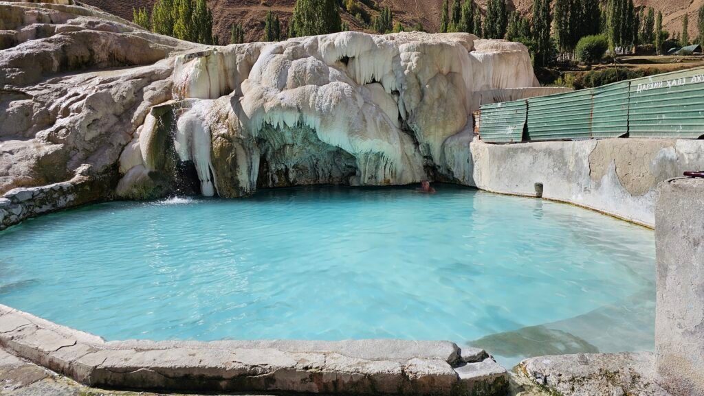
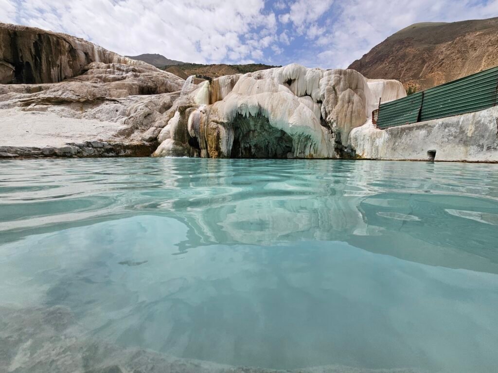
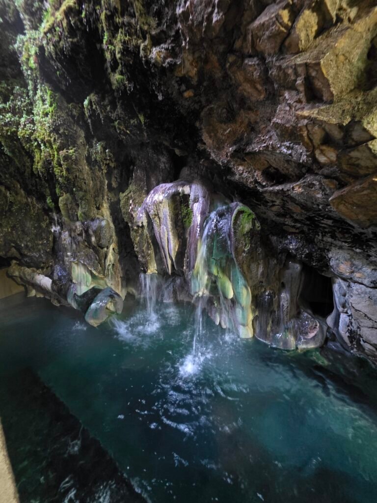
Garm Chashma Hot Springs
If time allows, we can make a detour to the famous Garm Chashma hot springs. These mineral-rich natural springs are known for their distinctive limestone formations and warm water. Guests who wish can enjoy a relaxing bathing experience before we continue into the Wakhan Valley. Ishkashim and the Afghan Border Continue toward Ishkashim, an important settlement in the western Wakhan region. From here, the landscape opens into a magnificent mountain valley with spectacular views toward Afghanistan. Traditional villages, cultivated fields and beautiful mountain scenery make this area particularly interesting for both photographers and travellers interested in local culture. Ancient Fortresses of the Wakhan Valley One of today’s most memorable experiences is discovering the remains of ancient fortifications overlooking the Wakhan Valley.
Kah-Kaha Fortress
Visit the remains of the historic Kah-Kaha Fortress near Namadgut, an important defensive location associated with the ancient routes through this region.The site offers beautiful views across the valley toward Afghanistan.
Yamchun Fortress
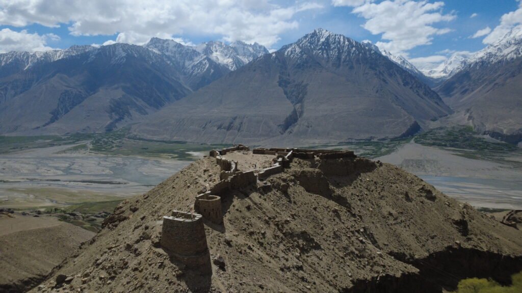
Continue toward the magnificent Yamchun Fortress, perched high above the Wakhan Valley. The fortress provides panoramic views of the surrounding mountains, the Panj River and the impressive Hindu Kush range. Its dramatic location makes it one of the region’s most photographed historical sites.
Bibi Fatima Hot Springs
Close to Yamchun Fortress are the famous Bibi Fatima hot springs. Located in a beautiful mountain setting, these natural springs are popular with local residents and visitors. There may be an opportunity to bathe in the warm mineral water, depending on opening arrangements and time. Wakhan Cultural Heritage If our schedule allows, additional cultural visits may include:
Yamg Village: Home to the historical museum associated with the scholar Muborak-i Wakhani. Vrang Buddhist Stupa: Remains of the region’s pre-Islamic Buddhist heritage.
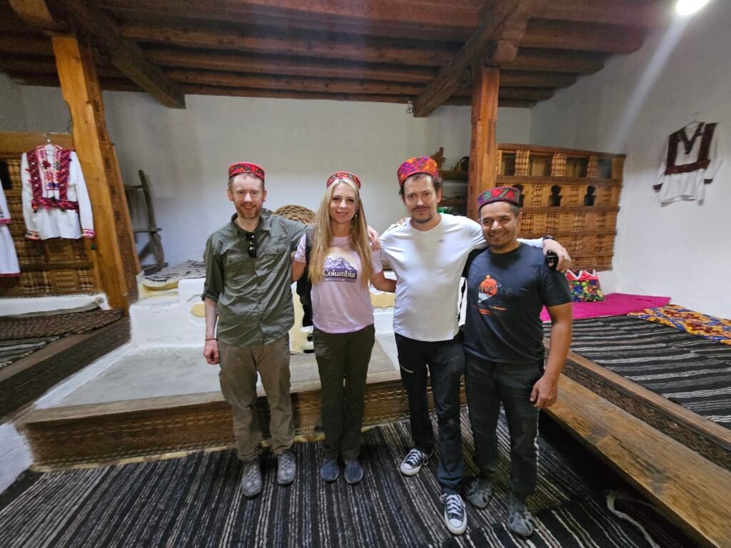
Traditional Wakhi Villages: Opportunities to observe traditional architecture and agricultural life. Langar Petroglyphs: Ancient rock carvings above Langar, requiring an additional walk and sufficient time. Because this is a long day on mountain roads, the driver and guide will select the most suitable combination of stops rather than rushing every attraction. Evening – Arrival in Langar Arrive in Langar, a beautiful village in the upper Wakhan Valley. Surrounded by spectacular mountains, Langar is an excellent place to experience traditional Pamiri hospitality. Enjoy the peaceful village atmosphere and prepare for the next day’s journey into the higher mountains. Overnight: In Sash Guest House
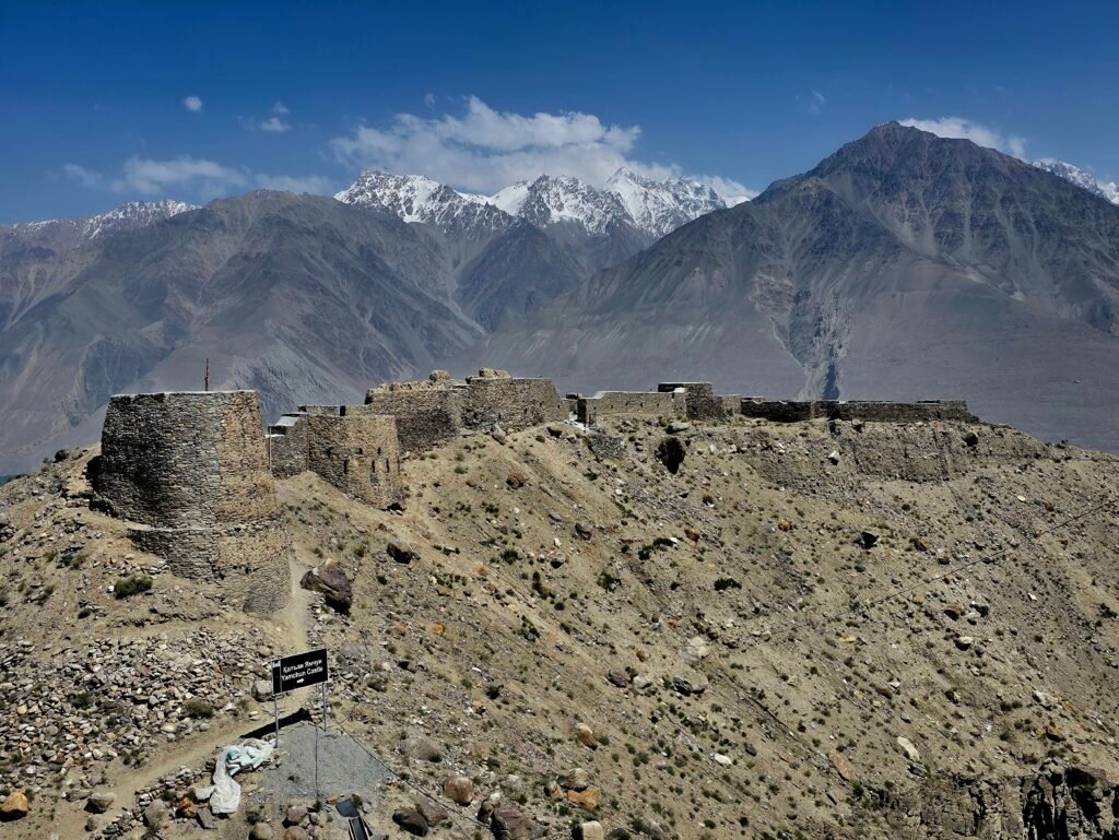
Day 5 – Langar to Alichur via Panorama Ridge and Bulunkul Lake
Hiking to 4,800 Metres and Exploring the High Pamir Plateau
Driving distance: Approximately 170–200 km, including the lake detour
Driving time: Approximately 5–6 hours, excluding hiking and long stops
Hiking distance: Provisional estimate 4–7 km, depending on the selected trail
Hiking time: Approximately 3–4 hours
Panorama Ridge altitude: Approximately 4,800 m
Khargush Pass altitude: Approximately 4,344 m
Overnight altitude: Alichur – approximately 3,850–3,950 m
Hiking difficulty: Challenging, especially because of the altitude
Accommodation: Local guesthouse
Morning – Leaving the Wakhan Valley
After breakfast in Langar, begin one of the most spectacular driving days of our expedition. We gradually leave the cultivated Wakhan Valley behind and enter the dramatic high-altitude terrain of the Eastern Pamirs. The mountain road climbs through increasingly remote landscapes, following beautiful valleys and passing magnificent rugged peaks.Along the route, we enjoy spectacular views toward the Great Pamir mountains.The landscape changes dramatically as we gain elevation, with green villages giving way to barren mountain slopes and vast high-altitude plateaus.
Khargush Pass – 4,344 m
Our journey takes us across the impressive Khargush Pass, situated at approximately 4,344 metres above sea level.This remote mountain pass is surrounded by extraordinary high-altitude scenery.Snow-covered mountain ranges, remote valleys and endless rugged peaks create a truly unforgettable setting.
Panorama Ridge Hike – Approximately 4,800 m
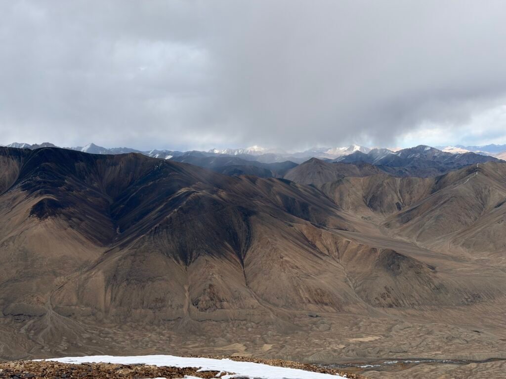
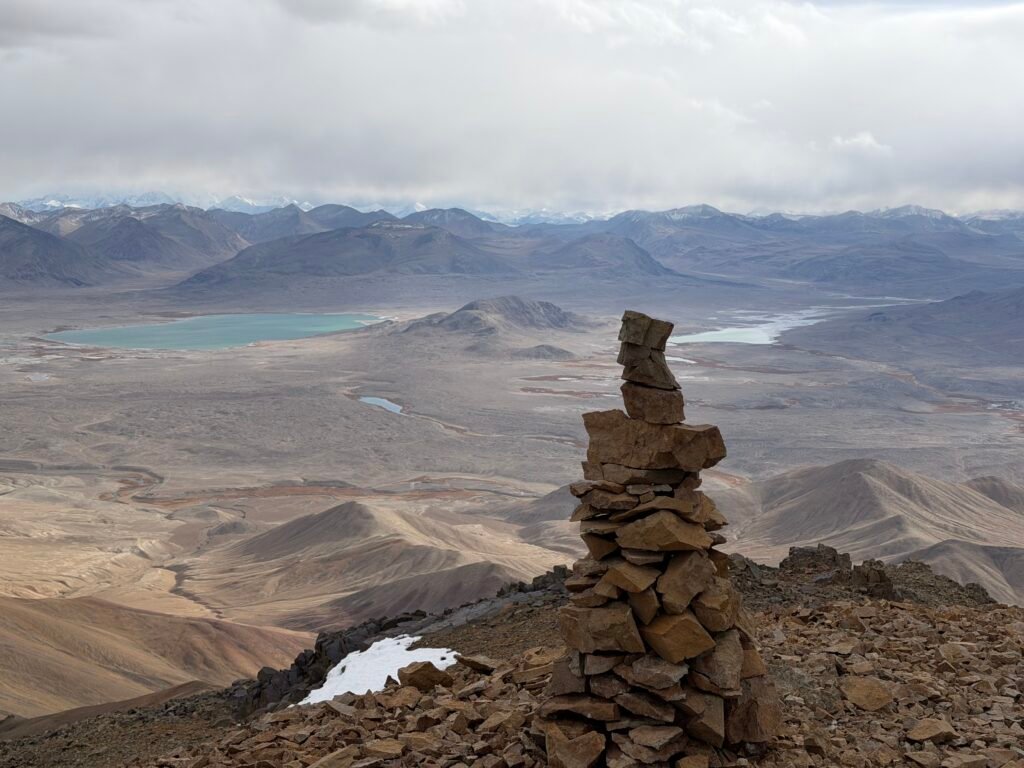
One of today’s main adventures is the guided hike toward Panorama Ridge.Beginning near the Khargush Pass area, we ascend through the high mountain terrain toward a viewpoint at approximately 4,800 metres.Although the hike is relatively short compared with longer trekking expeditions, the altitude makes it physically demanding. The trail may involve loose rocks, uneven ground, steep sections and exposure to strong mountain winds. At the panoramic viewpoint, we are rewarded with extraordinary views across the remote Pamir Mountains.On clear days, the panorama reveals vast valleys, spectacular mountain ridges and the beautiful wilderness stretching toward Afghanistan.
Hiking details
Starting area: Khargush Pass
Starting altitude: Approximately 4,200 m
Planned high point: Approximately 4,800 m
Altitude gain: Approximately 450–460 m
Duration: Around 3–4 hours round trip
Estimated distance: 4–5 km, subject to route confirmation
Difficulty: Challenging due to altitude
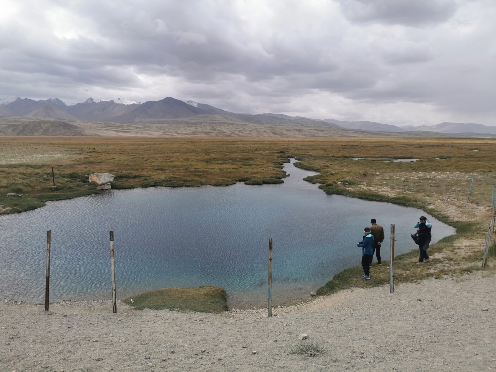
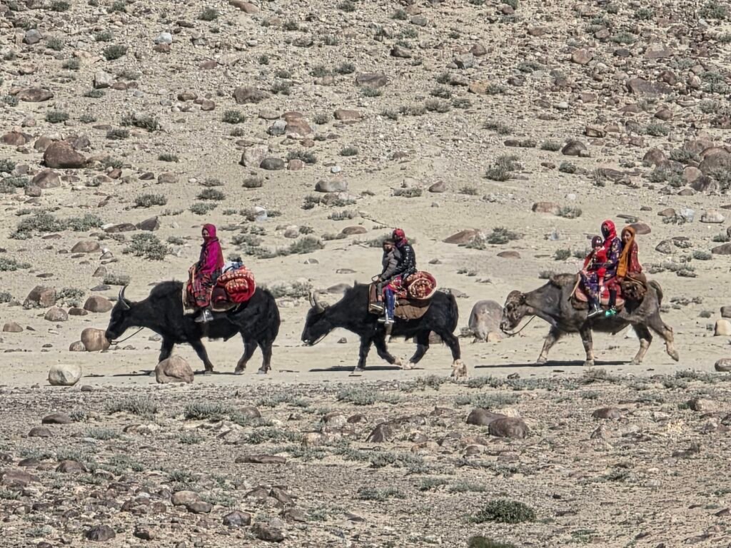
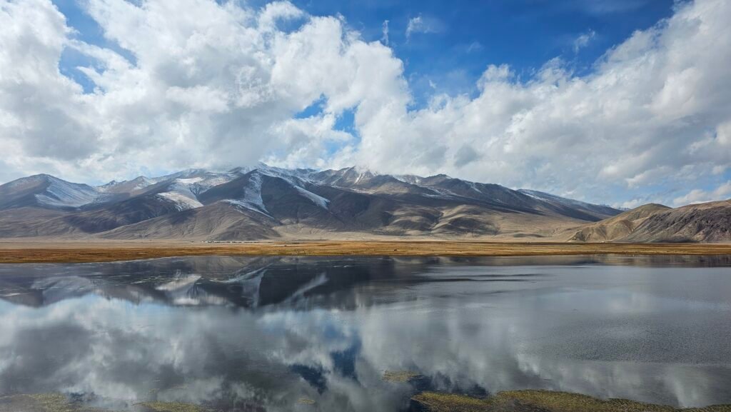
The full ascent depends on weather conditions, snow cover, trail safety and the group’s acclimatization. Following the hike, return to the vehicle and continue toward the high Pamir Plateau.Bulunkul Lake Our next destination is the magnificent Bulunkul Lake, located in one of the coldest inhabited regions of Tajikistan. The lake is surrounded by expansive high-altitude landscapes and beautiful mountain scenery. The combination of peaceful water, rugged peaks and wide-open spaces provides an unforgettable photographic experience. In the surrounding area, travellers may encounter grazing yaks and traditional herding communities.
Yashilkul Lake
If time and road conditions allow, visit nearby Yashilkul Lake, whose name translates to Green Lake.Yashilkul is known for its beautiful water colours, remote mountain setting and dramatic surrounding landscapes. Short scenic stops provide opportunities to admire the lake and photograph the magnificent Eastern Pamirs.Afternoon – Arrival in Alichur Continue toward Alichur, a remote settlement situated at approximately 3,900 metres above sea level. Alichur is surrounded by vast mountain landscapes and is well known for its Kyrgyz pastoral traditions, traditional hospitality and rugged natural beauty.Check into a local guesthouse and relax after a demanding day of hiking and driving.The evening should be spent resting and preparing for the following day’s high-altitude excursion.Overnight: PamirExperience Guest HouseImportant: This day involves a major increase in sleeping altitude and a demanding hike. It should be undertaken only if the travellers are sufficiently acclimatized and the guide considers conditions safe. Otherwise, Panorama Ridge should be shortened or skipped

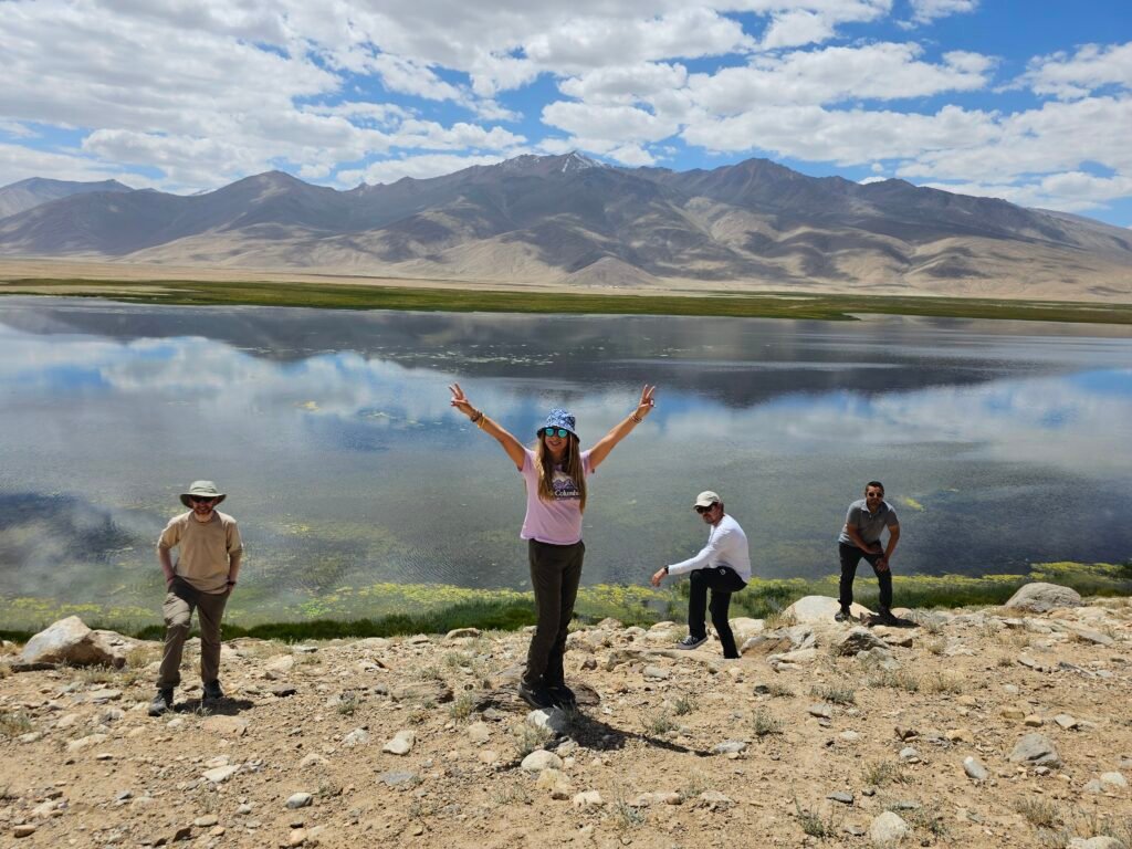
The Ultimate High-Altitude Hiking Challenge – Approximately 5,000 Metres
Driving time: Approximately 30 minutes each way to the planned trailhead
Driving distance: Approximately 10-12 km
Hiking distance: Approximately 5-6 km
Estimated ascent time: 4-5 hours
Estimated descent time: 2–4 hours
Total hiking time: Approximately 7-8 hours, excluding extended rests
Target altitude: Approximately 5,000 m
Hiking difficulty: Very Challenging
Accommodation: Pamir Experience Guesthouse
Early Morning – Preparing for the Mountain Adventure
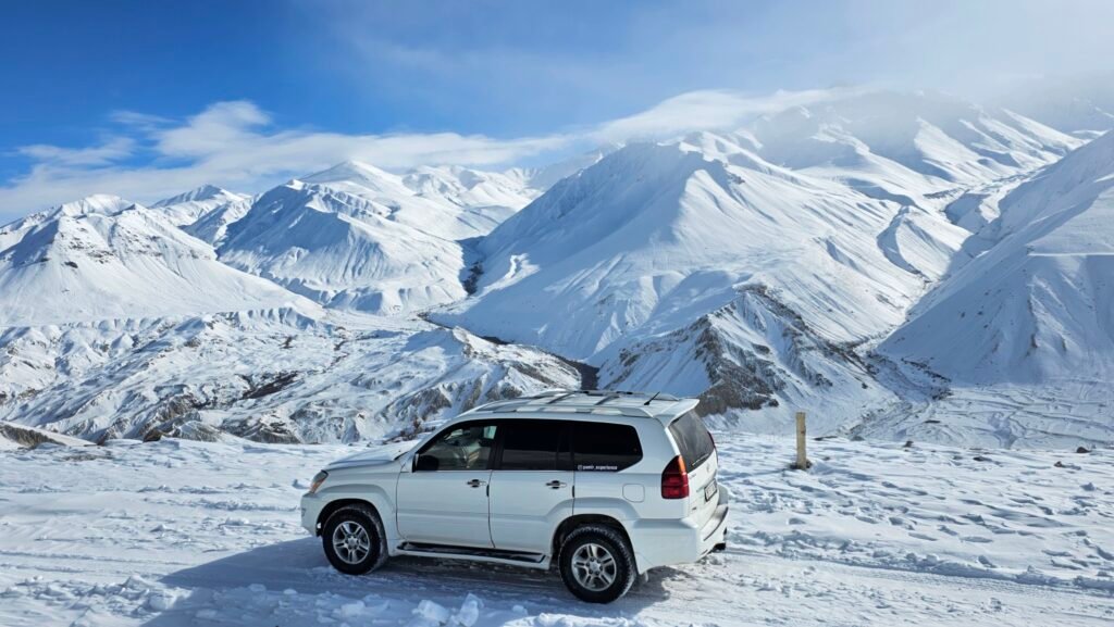
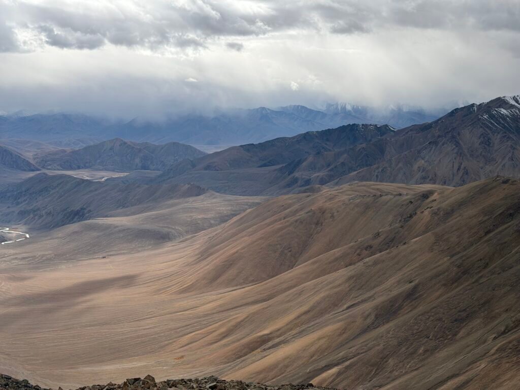
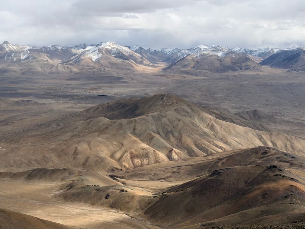
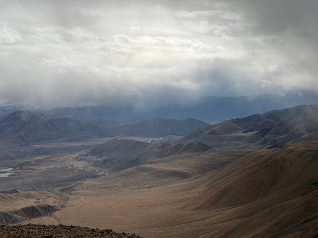
Today is planned as the most challenging hiking day of our entire Pamir expedition. After an early breakfast, we prepare for a guided high-altitude ascent toward the approximately 5,000-metre mountain objective locally known as Nazar Peak. Surrounded by the vast and beautiful Eastern Pamirs, this remote mountain adventure offers the opportunity to experience one of Central Asia’s most extraordinary high-altitude landscapes. We prepare suitable trekking equipment, warm clothing, food, drinking water and essential safety equipment before leaving Alichur. Transfer to the Trailhead Travel by 4×4 for approximately 30 minutes toward the planned starting point. The route takes us through remote mountain terrain, away from the main Pamir Highway and into the wilderness surrounding Alichur. After reaching the trailhead, the mountain guide checks the weather, route conditions and the readiness of the group. Trekking Toward Nazar Peak – Approximately 5,000 m
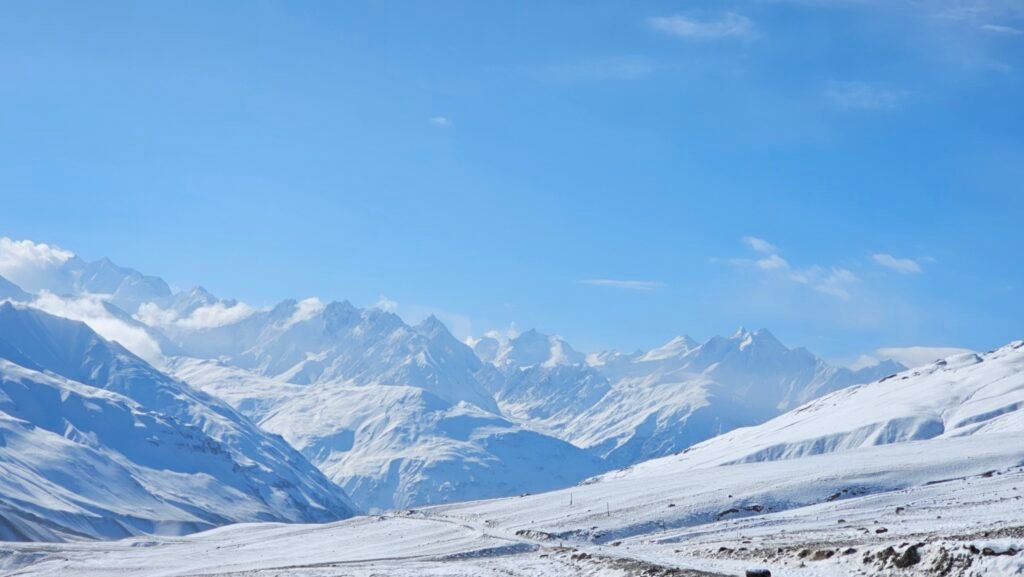
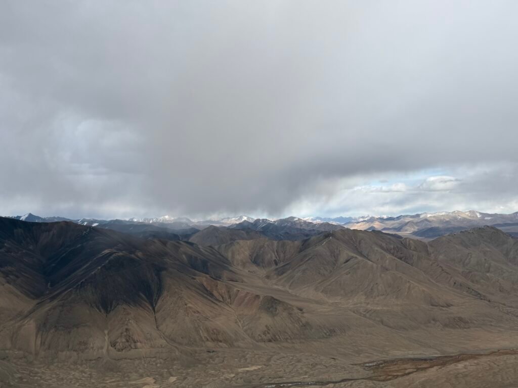
Begin the ascent through high-altitude terrain toward our planned objective. The landscape is dominated by immense mountain ridges, vast open valleys, rocky slopes and dramatic panoramic views. As we climb higher, the scenery becomes increasingly impressive. The terrain, gradient and need for technical equipment must be assessed on the actual route before departure. Planned ascent Estimated ascent duration: 4-5 hours
Target elevation: Approximately 5,000 m
Walking pace: Slow and steady, adapted to the altitude
Summit access: Subject to fitness, acclimatization, weather and route safety
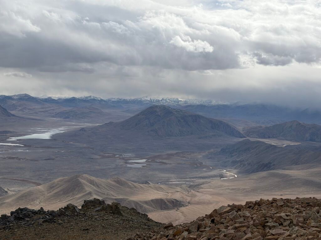
At approximately 5,000 metres, oxygen availability is significantly reduced compared with lower elevations. The ascent therefore requires suitable previous acclimatization, excellent judgement and a conservative pace. Reaching the High Point If conditions are favourable and the group is properly acclimatized, we aim to reach the planned high point near 5,000 metres. From this extraordinary elevation, enjoy sweeping views of the surrounding Pamir Mountains. The reward is the chance to experience the silence, scale and natural beauty of an exceptionally remote mountain environment. There will be time for photographs, a short rest and refreshments before beginning the descent. Reaching the summit is never guaranteed and must not take priority over safety. Afternoon – Descent and Return to Alichur Following our high-altitude experience, begin the descent along the route approved by the guide. The remainder of the day is reserved for rest and recovery. Travellers can enjoy a warm meal and relax at the guesthouse after a demanding mountain adventure.
Overnight: Pamir Experience Guest House
Safety alternative: Travellers who are not sufficiently acclimatized, or if the weather is unfavourable, can enjoy a lower-altitude guided walk or a scenic excursion around Alichur instead.
Crossing the Roof of the World
Driving distance: Approximately 230–245 km
Driving time: Approximately 5–7 hours, excluding stops
Hiking: Optional short walks
Highest road altitude: Ak-Baital Pass – approximately 4,655 m
Overnight altitude: Karakul – approximately 3,930 m
Accommodation: Local guesthouse or homestay
Morning – Crossing the Eastern Pamir Plateau
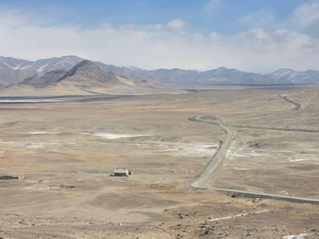
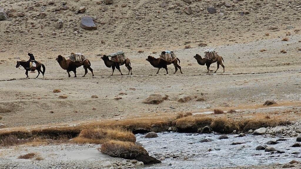
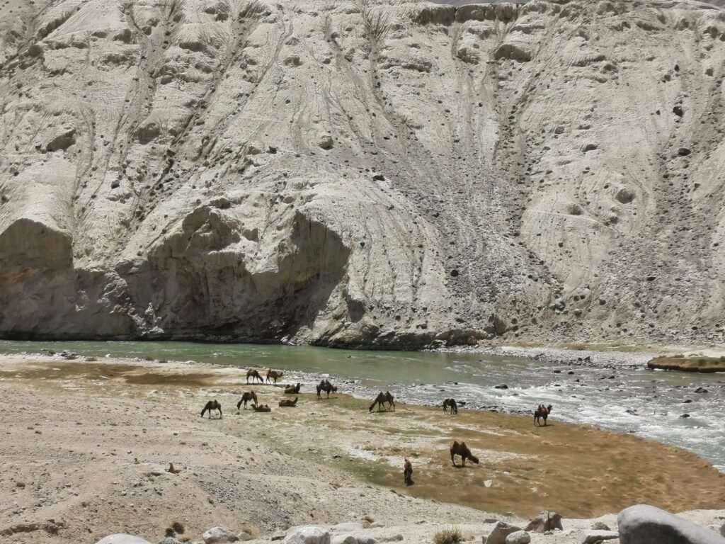
After breakfast, leave Alichur and travel north along the legendary M41 Pamir Highway.Today’s adventure takes us through the vast landscapes of the Eastern Pamirs. The scenery is completely different from the green river valleys of western Tajikistan.Here, enormous mountain plateaus stretch toward the horizon, surrounded by high peaks and dramatic desert-like landscapes.Along the route, we may encounter herds of yaks, remote shepherd settlements and traditional Kyrgyz communities. Murghab – A Remote Mountain Town
Arrive in Murghab, one of the highest major settlements in Tajikistan.Situated at approximately 3,600 metres, Murghab is an important centre for the remote Eastern Pamirs. We can stop to explore the town, visit the local market and experience everyday life in this fascinating high-altitude region. Murghab’s famous container-style bazaar offers an interesting glimpse into the commercial life of this isolated mountain community. After a short visit and a meal break, continue north toward Karakul Lake.
Ak-Baital Pass – 4,655 m
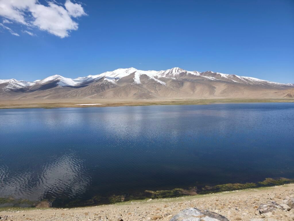
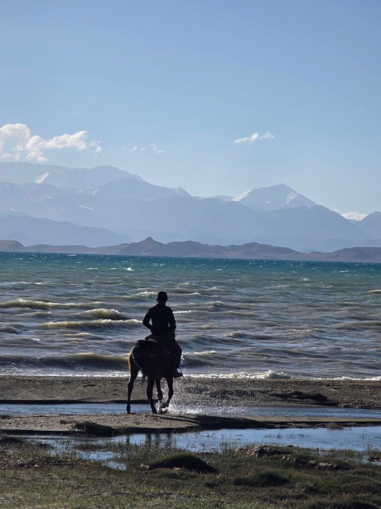
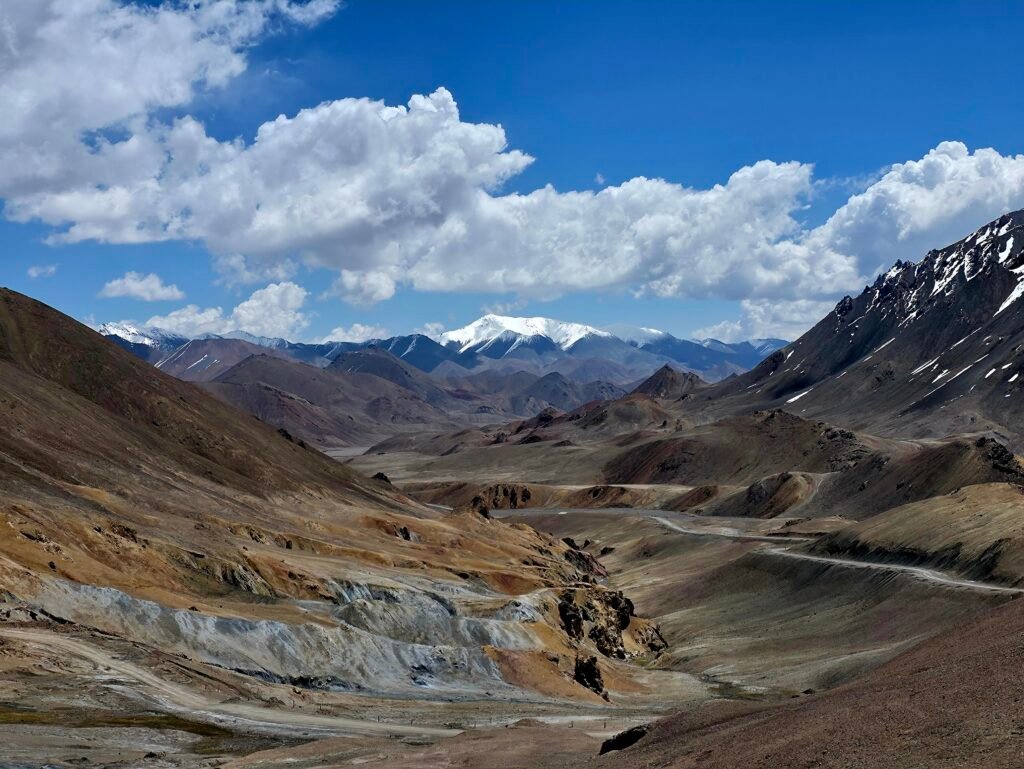
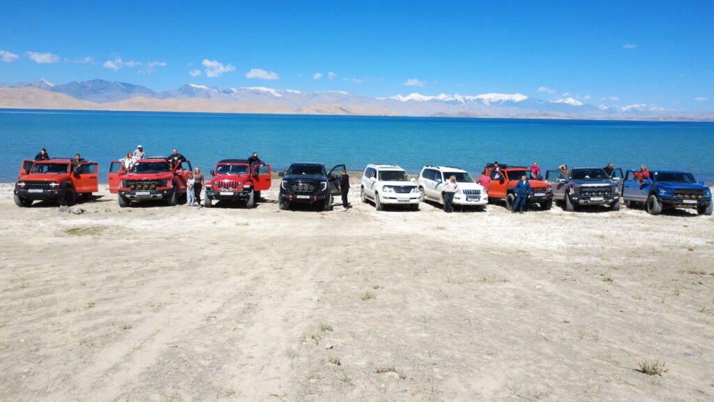
One of today’s main highlights is crossing the legendary Ak-Baital Pass, at approximately 4,655 metres above sea level. Known as the highest major point along the M41 Pamir Highway, this remote pass offers spectacular views of the surrounding mountain wilderness. Stop at the famous pass marker for photographs, weather permitting. The surrounding landscape features rugged mountain slopes, distant snow-covered peaks and immense high-altitude valleys. Arrival at Karakul Lake After crossing Ak-Baital Pass, descend toward the extraordinary Karakul Lake. Located at approximately 3,900 metres, Karakul is one of the great natural landmarks of the Eastern Pamirs. The lake is famous for its deep-blue water, immense size and magnificent surrounding mountains. Its barren shores and remote location create an almost otherworldly atmosphere.
Afternoon – Exploring Karakul
Enjoy time along the shore of Karakul Lake. Possible activities include relaxed lakeside walks, mountain photography and observing the peaceful local landscape. The lake is especially beautiful when the mountains are reflected in the water under a clear sky. Continue to the nearby village, where we spend the night in a traditional guesthouse or homestay. Overnight: Karakul village



Crossing the Tajikistan–Kyrgyzstan Border and Entering the Alay Mountains
Driving distance: Approximately 130–160 km, depending on transfers and routing
Driving time: Approximately 4–6 hours plus border procedures
Hiking: Optional short lakeside walks
Highest road altitude: Kyzyl-Art Pass – approximately 4,280 m
Overnight altitude: Tulpar-Kul – approximately 3,500 m
Accommodation: Traditional Kyrgyz yurt camp
Morning – Farewell to Karakul Lake
Wake up beside the beautiful waters of Karakul Lake. After breakfast, enjoy a final look at this extraordinary landscape before continuing north toward the Tajikistan–Kyrgyzstan border. The road travels across one of Central Asia’s most remote high-altitude regions. Surrounded by immense mountains and vast open spaces, the journey provides spectacular views of the Eastern Pamirs. Kyzyl-Art Pass – The International Border Continue toward Kyzyl-Art Pass, at approximately 4,280 metres above sea level. This spectacular mountain crossing connects the high Pamirs of Tajikistan with the beautiful Alay region of Kyrgyzstan. Complete the necessary passport and immigration procedures at the designated border posts. Depending on current crossing regulations, a change of vehicle or driver may be necessary. The border formalities and transport arrangements must be confirmed before travel.
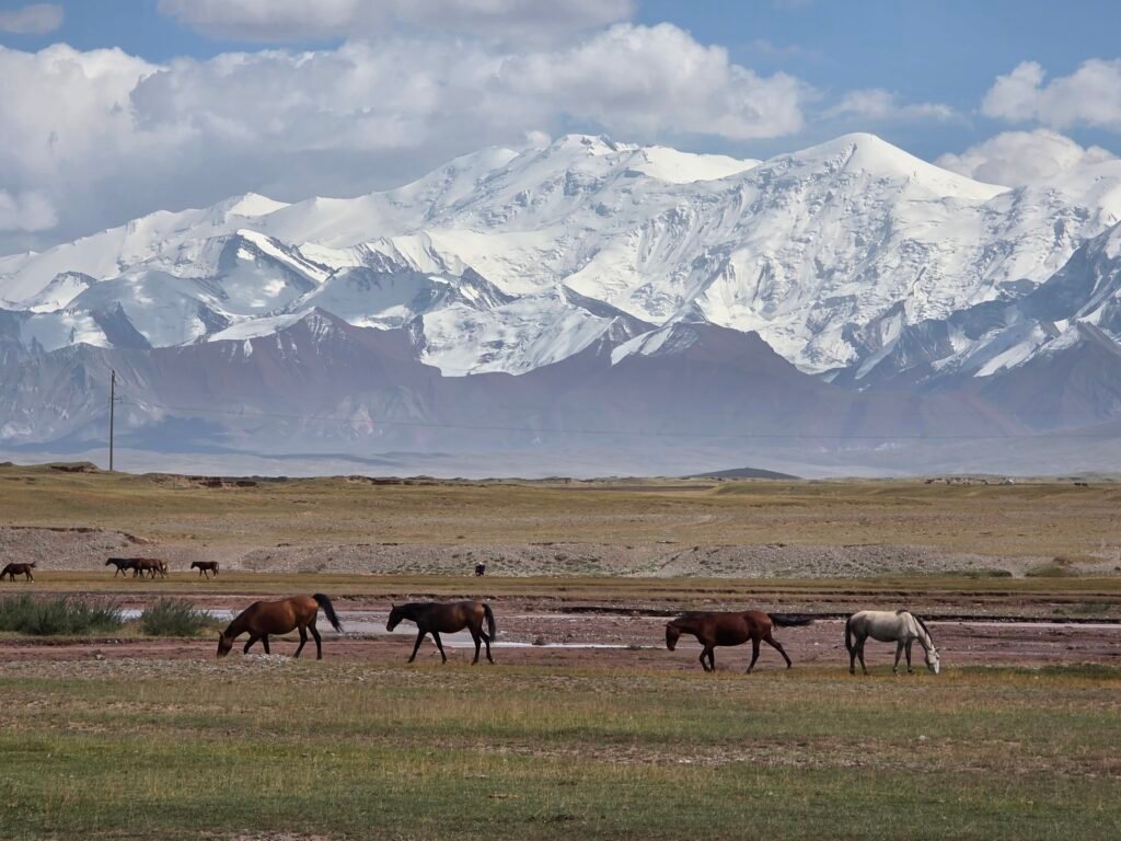
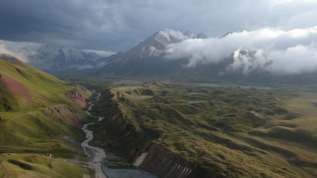
Entering Kyrgyzstan. After crossing into Kyrgyzstan, the landscape begins to transform. We gradually leave the barren high Pamir plateau and enter the magnificent Alay Valley. This region is famous for its wide green pastures, beautiful mountain scenery, traditional Kyrgyz settlements and extraordinary views of the surrounding snow-covered peaks. Sary-Tash and Sary-Mogol Travel through the Alay region toward Sary-Mogol, a village near the enormous Lenin Peak mountain massif. The scenery is dominated by vast mountain valleys, grazing animals and beautiful snow-covered ranges. During the journey, we enjoy panoramic views of the magnificent mountains marking the border between Kyrgyzstan and Tajikistan.
Afternoon – Arrival at Tulpar-Kul Lake
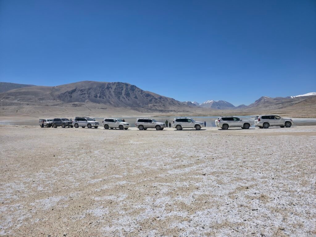
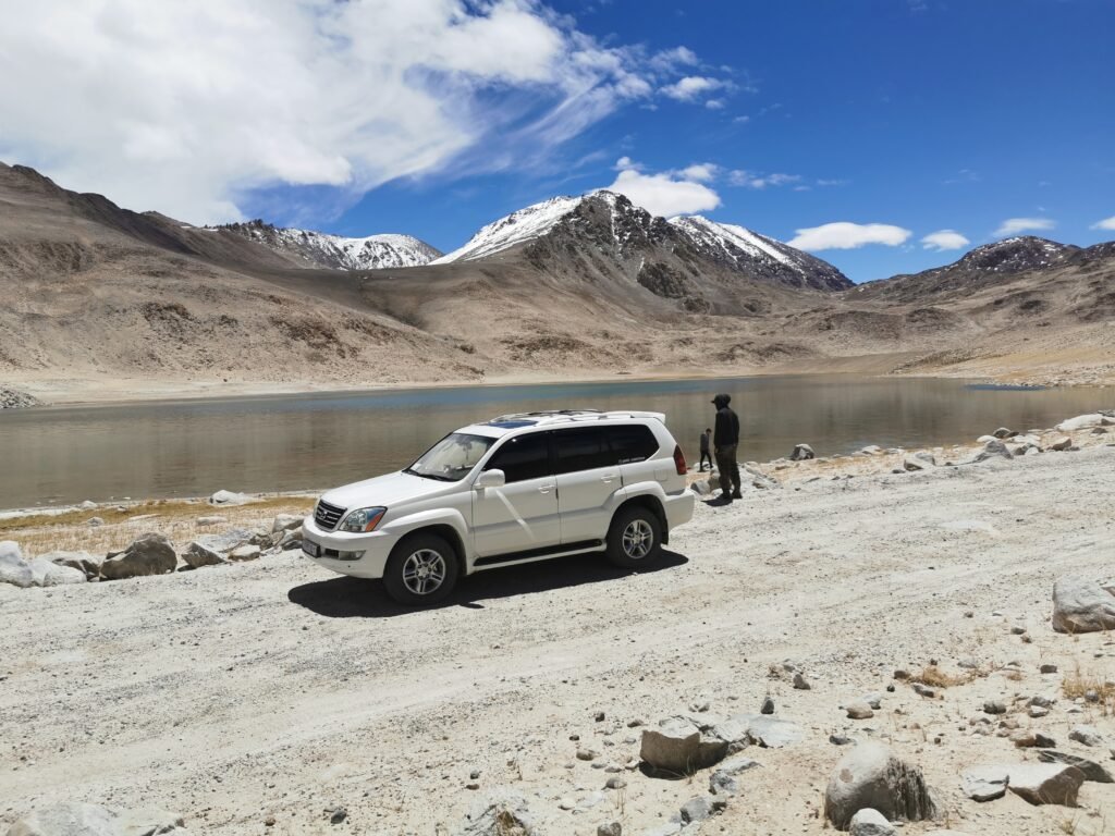
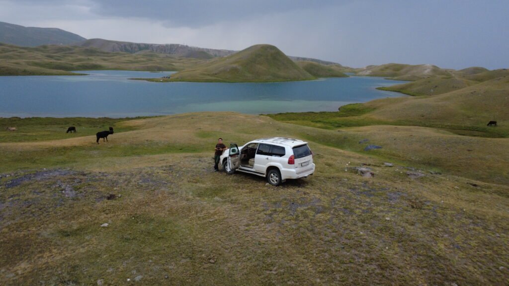
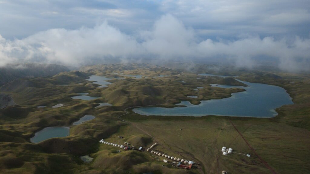
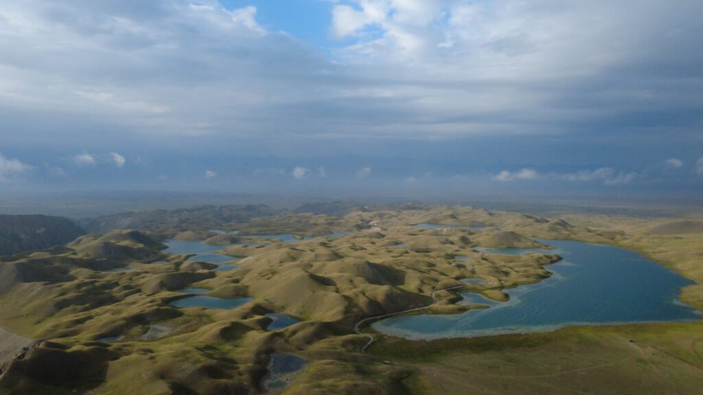
Continue to the enchanting Tulpar-Kul Lake, located at approximately 3,500 metres above sea level. Surrounded by beautiful alpine meadows and snowy mountains, Tulpar-Kul is one of the most scenic destinations in southern Kyrgyzstan.The lake is situated near the base camp area of the magnificent Lenin Peak, which rises to 7,134 metres. Enjoy a peaceful afternoon exploring the surroundings. The landscape is particularly beautiful in the evening when the changing light illuminates the towering mountains.
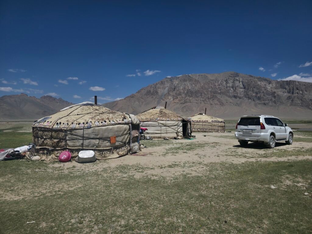
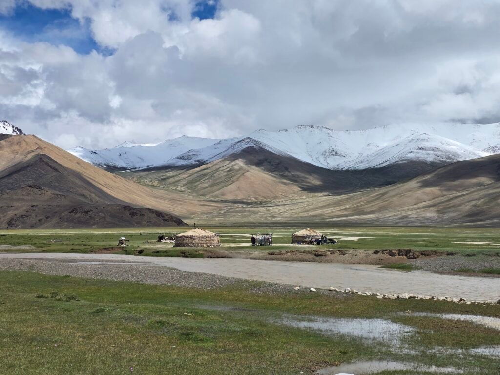
Traditional Kyrgyz Yurt Experience Spend the night in a traditional Kyrgyz yurt camp. This is a special opportunity to experience the traditional nomadic lifestyle of the Alay region. Relax beside the lake, admire the incredible mountain views and enjoy the peaceful atmosphere. Depending on the accommodation arrangements, a traditional Kyrgyz dinner can be served at the yurt camp. Overnight: Tulpar-Kul yurt camp

Hiking Beneath Lenin Peak and Completing the Pamir Highway Adventure
Driving distance: Approximately 240–250 km
Driving time: Approximately 5–6 hours, depending on conditions
Hiking distance: Approximately 10–14 km round trip, depending on the starting point
Hiking time: Approximately 5–6 hours
Starting altitude: Tulpar-Kul – approximately 3,500 m
Traveler’s Pass altitude: Approximately 4,100–4,150 m
Trekking difficulty: Moderate to Challenging, mainly due to altitude
Final destination: Osh – approximately 1,000 m
Early Morning – Preparing for the Final Trek
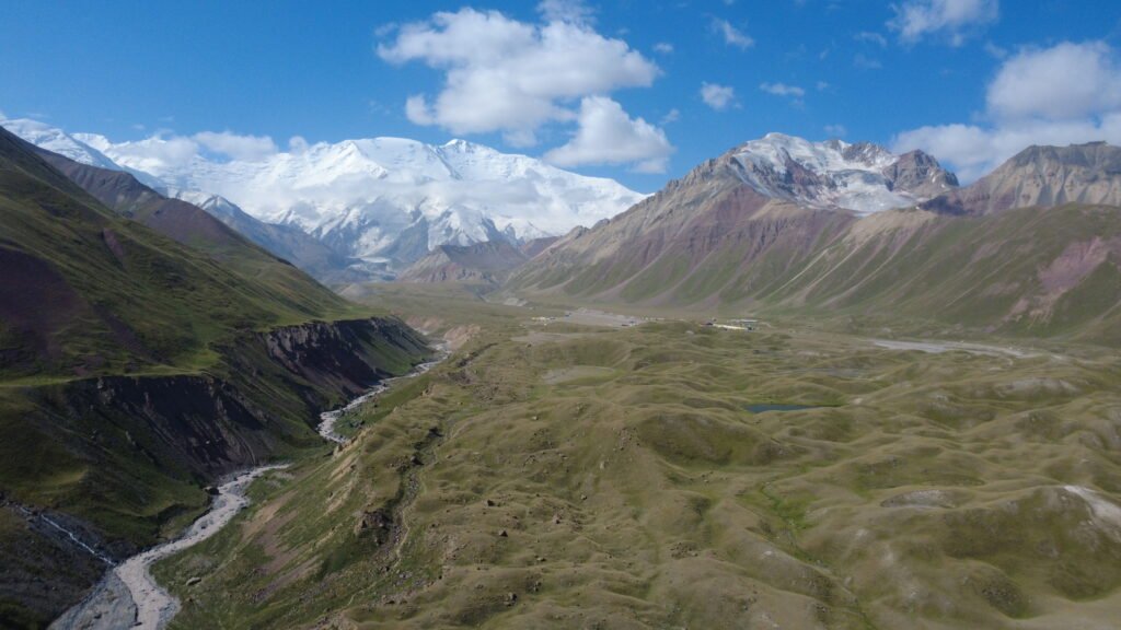
Our final day begins with an early breakfast at the beautiful Tulpar-Kul yurt camp. Today we enjoy another unforgettable trekking experience, hiking toward the spectacular Traveler’s Pass beneath the enormous Lenin Peak. The hike offers extraordinary views of one of Central Asia’s most impressive mountain landscapes. Lenin Peak, standing at 7,134 metres, dominates the surrounding mountain range and attracts mountaineers from around the world. Trekking Toward Traveler’s Pass. Begin the hike from the Tulpar-Kul area, walking through beautiful alpine meadows and the surrounding mountain landscape. The route passes near the Lenin Peak base camp area and continues toward the mountain slopes leading to Traveler’s Pass. Along the way, enjoy views of colourful mountain ridges, high-altitude landscapes and magnificent snow-covered peaks. The ascent gradually becomes more demanding as we approach the pass. The final section involves a steeper mountain trail, where we continue slowly and carefully.
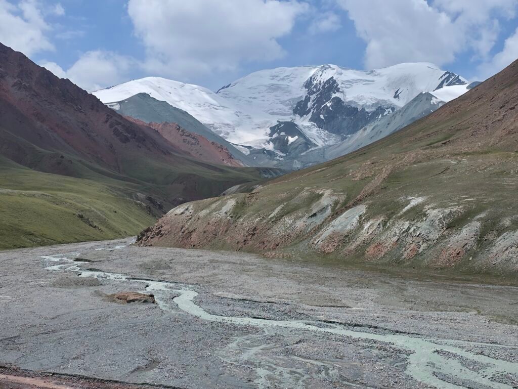
Traveler’s Pass – Approximately 4,100–4,150 m
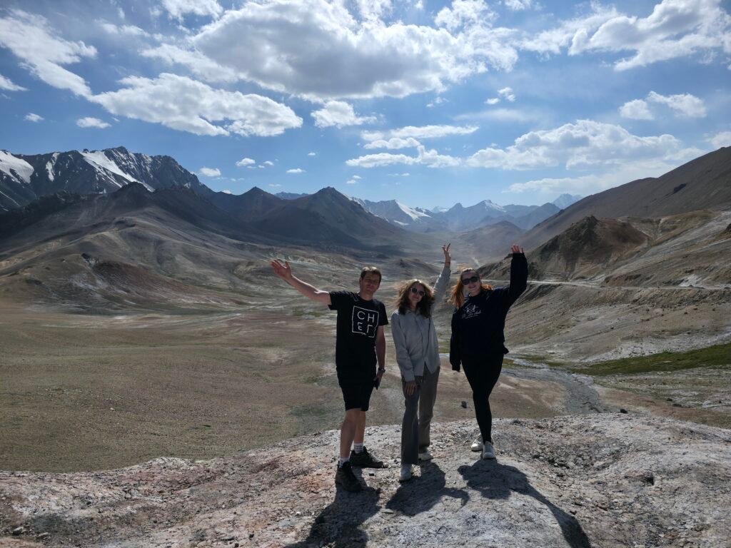
Reaching Traveler’s Pass is a truly memorable experience. From the pass, travellers are rewarded with spectacular views of the surrounding glaciers and the enormous snow-covered Lenin Peak massif. This viewpoint is one of the most beautiful accessible trekking destinations in the Alay Mountains. Spend some time enjoying the panorama and taking photographs before returning along the same route.
Afternoon – Drive to Osh
After returning from the hike, enjoy a meal and prepare for the final scenic drive to Osh. Leave Tulpar-Kul and travel through the magnificent Alay Valley. The road passes through beautiful mountain scenery, traditional Kyrgyz villages and spectacular valleys. Along the way, we cross the impressive Taldyk Pass area, approximately 3,600 metres above sea level, before descending toward the fertile landscapes surrounding Osh. The contrast between the remote high mountains and the green countryside is particularly striking. Evening – Arrival in Osh, one of Kyrgyzstan’s oldest and most important cities. Your unforgettable 9-day Pamir Highway and Wakhan adventure concludes with a transfer to your hotel or another agreed drop-off point in Osh. After nine days exploring remote mountain villages, ancient fortresses, beautiful alpine lakes and breathtaking trekking routes, you will leave with unforgettable memories of the Roof of the World. End of Tour: Osh, Kyrgyzstan

Cost
INCLUDED
- Transportation in a shared 4WD vehicle throughout the tour
- Free GBAO Permit
- Basic English speaking local driver
- Fuel and all road expenses
- Drop-off in Osh
- Border crossing assistance
- All local taxes and road fees
- Pamir Experience local support throughout the journey
EXCLUDED
- Tajikistan Visa (if required)
- Kyrgyzstan Visa (if required)
- Accommodation
- Breakfast-Lunches - Dinners
- Entrance fees to museums, hot springs, and historical sites
- Optional activities (Yak Riding, Horse Riding, etc.)
- Drinking water during transfers
- Travel Insurance
- Personal Expenses
- Tips and Gratuities
Join Our Fixed Trip Starting Date
Privet tour on request !
Private Tours – Available on Request
We organize private tours tailored to your travel dates, interests, and preferences. Contact Pamir Experience to plan your personalized adventure!
-
Guaranteed Available PackagesThursdayApril 15, 2027FridayApril 23, 2027$5004Available
-
Guaranteed Available PackagesTuesdayApril 20, 2027WednesdayApril 28, 2027$5004Available
-
Guaranteed Available PackagesSundayApril 25, 2027MondayMay 3, 2027$5004Available
-
Guaranteed Available PackagesWednesdayApril 28, 2027ThursdayMay 6, 2027$5004Available
-
Guaranteed Available PackagesFridayApril 30, 2027SaturdayMay 8, 2027$5004Available
-
Guaranteed Available PackagesSaturdayMay 1, 2027SundayMay 9, 2027$5004Available
-
Guaranteed Available PackagesMondayMay 3, 2027TuesdayMay 11, 2027$5004Available
-
Guaranteed Available PackagesThursdayMay 6, 2027FridayMay 14, 2027$5004Available
-
Guaranteed Available PackagesMondayMay 10, 2027TuesdayMay 18, 2027$5004Available
-
Guaranteed Available PackagesWednesdayMay 12, 2027ThursdayMay 20, 2027$5004Available
FAQs
The Pamir Highway (M41) is one of the world’s highest and most spectacular road journeys, stretching through Tajikistan’s dramatic mountains, remote villages, and ancient Silk Road landscapes. It connects Dushanbe to Osh and crosses the famous Pamir Plateau
Most travelers take 5–10 days depending on the route, pace, and detours (e.g. Wakhan Valley, Bulunkul, Karakul, Murghab). Faster or longer itineraries are possible.
The Pamir Highway reaches up to 4,655m (Ak-Baital Pass). Some travelers feel mild altitude effects; acclimatization, hydration, and slower pacing help a lot. Our guides monitor guests throughout the trip.
The best season is May to October when high mountain passes are open and temperatures are mild. Winter travel is possible in some sections but not recommended without special arrangements
Roads vary from paved sections to rough gravel and high mountain passes. A 4×4 vehicle is recommended for comfort and safety.
Accommodation includes guesthouses, family homestays, small hotels, and yurts. In remote areas, rooms are simple but warm, clean, and welcoming.
Facilities vary by region: towns usually have standard bathrooms; villages and homestays may have outhouses or shared facilities. Showers are sometimes limited outside major towns.
Expect traditional Pamiri and Central Asian dishes: soups, noodles, rice, meat, dairy products, fresh breads, and lots of tea. Vegetarian options are available with advance notice.
Yes — solo travelers join small groups or request private tours. Shared jeep trips are popular for budget travelers.
Tajik Somoni (TJS). Cash is essential in remote areas — ATMs may not be available after Khorog.
Yes — the Pamir Highway connects easily with Wakhan Valley, Kyrgyzstan (Osh), and Uzbekistan (via Osh–Fergana). Multi-country itineraries are common
Warm layers (even in summer), comfortable shoes, sunscreen, passport, and cash. Temperatures can change quickly at altitude.
You can apply online through the official Tajik e-visa portal. The process usually takes 2–5 business days and requires basic passport details and a small fee.
GBAO stands for Gorno-Badakhshan Autonomous Region, the area where the Pamir Highway is located. Travelers entering the Pamirs need a special permit in addition to the Tajik visa.
Yes — we assist travelers with visa information, routing advice, and GBAO permit guidance upon booking.


Write a Review